Mining, Agriculture

Crop localization
Design autonomous crop monitoring with high spatial and temporal resolution for precision agriculture. XenomatiX lidar 3D, 2D, time and intensity data brings your crop monitoring application within reach. In full solid state, the lidar is suited to operate in harsh, outdoor environments.
Terrain profiling
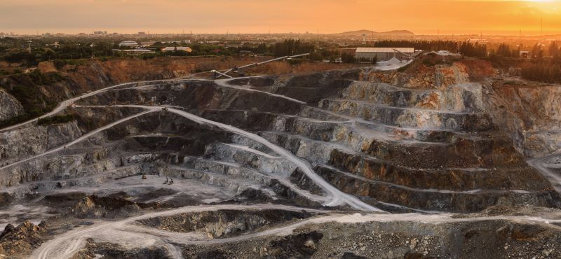
Do you need precise terrain profiles to optimize automated mining or agriculture operations in real-time or for post-analysis? XenomatiX lidar measures high resolution, high accuracy profile maps of any terrain, longitudinally stitched together, complemented with intensity and 2D imaging.
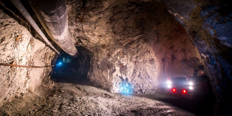
Lost payload detection
Anticipate lost payload to improve safety and uptime of your mining operations. XenomatiX solid state lidar detects and warns of lost payloads even in low light and busy mining tunnels, making work environments safer and guaranteeing operational throughput.
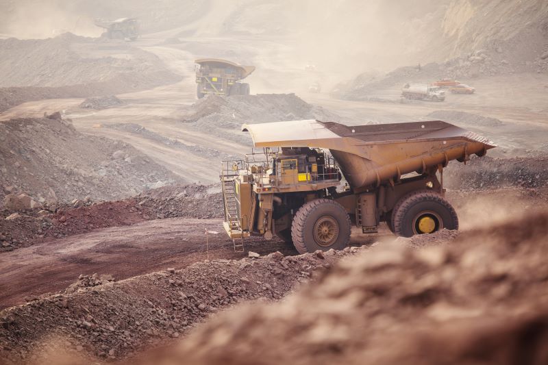
Off-road navigation
Assess rough ground to avoid vehicle damage and improve driving safety. XenomatiX lidar provides resolution and accuracy as inputs for your off-road navigation assistance. Thanks to its full solid state, it is ideally suited to operate in harsh driving conditions.
Why XenomatiX?
-
Quick set up
-
High accuracy
-
3D pointcloud & 2d images
-
Reliable
-
Multi-beam
-
No moving parts
-
Flexible
-
Scalable & affordable
