
Pavement
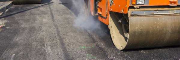
Road Maintenance
XenomatiX highly accurate, pavement data help you assess the existing condition of any road surface, and extend the overall lifecycle of the pavement. With the use of XenomatiX data, road management teams can monitor road quality and perform temporal analysis to prioritize interventions and optimize road maintenance. Read more
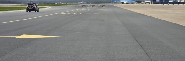
Airport Runway Inspection
Airports perform regular runway inspections to detect FOD (Foreign Object Debris), surface damage, drainage issues, lighting protrusions, and macrotexture deficiencies. XenomatiX delivers a fully integrated, pavement inspection solution which enable fast, automated, and repeatable runway assessments — day and night. Read more
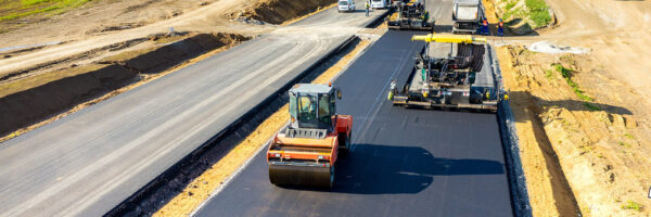
Road Construction
The construction and design of roads in urban, agricultural, or mining settings require careful planning and strict quality standards. Integrating XenoTrack technology into construction machinery, including road milling machines, improves quality control, efficiency, and road infrastructure delivery.
Read more

Bike Lane Inspection
Cities are placing greater emphasis on the safety of cycling lanes and pedestrian infrastructure. Like for standard roads and highways, XenomatiX solutions can precisely scan narrow lanes such as bike lanes to identify cracks and defects, assign quality ratings, and support maintenance planning. Read more

Local Authorities
XenomatiX works closely with local communities, offering flexible and cost-effective pavement inspection solutions through our in-house team or local surveyors who have integrated XenoTrack into their portfolio. We provide the tools to make roads safer while ensuring no disruption to the road network. Read more
Why XenomatiX?
-
Quick set up
-
High accuracy
-
3D pointcloud & 2d images
-
Reliable
-
Multi-beam
-
No moving parts
-
Flexible
-
Scalable & affordable