XenoTrack
Precision Road Profile LiDAR for Enhanced Safety
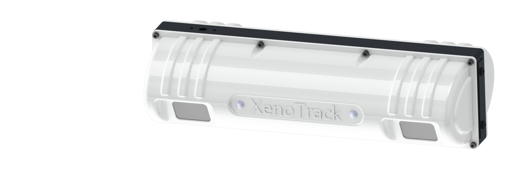
XenoTrack consists of LiDAR, camera, and GNSS technologies fully integrated into a single roof-mounted unit for road inspection. The complete system can be installed on any vehicle in 45 minutes and removed as one piece for quick and efficient transfer between vehicles. XenoTrack features a vibration-free setup that ensures precise and reliable data collection at all times.
XenoTrack Single Lane – This is the standard system that measure a single lane of 4 m. It provides detailed pavement measurements with millimeter-level accuracy. It supports applications such as crack and pothole detection, surface monitoring during road construction, seasonal surface degradation analysis, and road waviness assessment.
XenoTrack Dual Lane – A solution designed to survey two adjacent lanes in a single pass. The Dual Lane LiDAR system can measure up to 7,5 m, saving time, resources, and budget by capturing two lanes at once without disrupting traffic.
XenoTrack Single Lane
Lateral FOV: 4 m | Longitudinal FOV: 1.9–4.1 m | Resolution: 5 × 5 mm | Accuracy: < 0.45 mm | Frame Rate: 40 Hz | > 1M pts/sec
XenoTrack Dual Lane
Lateral FOV: 7.5 m | Longitudinal FOV: 2.9–7.5 m | Resolution: 10 × 10 mm | Accuracy: < 0.65 mm | Frame Rate: 40 Hz | > 1M pts/sec
XT Profiler delivers full-lane three-dimensional pavement digitization for cost-effective, high-accuracy road profiling. It captures a complete 4 m lane with height and intensity data, enabling extraction of up to five longitudinal profiles per lane. Designed as an affordable entry solution, it provides Class 1 longitudinal profiling with output in CSV and LAS formats. Ideal for entry-level pavement analysis and standardized roughness measurement, with upgrade capability.
XT 3D Road builds on Level 1 by generating a detailed 3D surface model and extracts pavement indices. In addition to longitudinal profiling, it calculates IRI, rutting, and cross-slope according to recognized standards, capturing longitudinal and transversal sections at any point. The system supports road widths of up to 7,5 m (optional), making it suitable for double lane assessment. Outputs include CSV, LAS, and CRG. Designed for inspectors requiring validated key metrics for road condition monitoring.
XT Visual Inspection merges high-resolution imaging with LiDAR-based 3D point cloud data to empower automated surface distress detection. AI algorithms classify cracks, potholes, patches, manholes, ravelling and more, with high consistency and repeatability. The fusion of 2D and 3D data ensures accurate characterisation and documentation of surface defects. With rapid data acquisition and processing, and outputs in CSV, LAS, PGM, and JPG, this solution addresses the need for objective and repeatable ‘visual’ pavement assessment.
XT Road Inspector combines pavement indices with AI-driven distress detection for advanced inspection. In addition to IRI, rutting, and cross-slope analysis, it detects and dimensionally characterizes cracks and potholes using synchronized high-resolution imagery and 3D point cloud data. Automated processing and repeatable condition reporting are key performance indicators in this version as well. Outputs include CSV, LAS, PGM, CRG, and JPG. This level is suited for NRA’s and LRA’s requiring key metrics and quantified surface damage analysis.
XT PCI is the most comprehensive XenoTrack solution, delivering full 6D road scanning with integrated LiDAR and camera systems. It provides automated Pavement Condition Index (PCI) calculation alongside IRI, rutting, cross-slope, and optional MPD (macro-texture) analysis. AI-powered detection covers cracks, potholes, patches, manholes, ravelling and more, supporting proactive maintenance planning and budget allocation. With rapid data acquisition, standardized outputs (CSV, LAS, PGM, CRG, JPG), and complete automation, XT PCI enables pavement management at network scale.
The XenoTrack system can be extended with a range of accessories to support advanced pavement inspection: XenoLight is a dedicated lighting set designed to enable high-quality data collection and visual inspection during low-light or night-time operations, making it ideal for environments such as airports, including runways and taxiways. In addition, the system supports Ladybug camera integration, providing seamless 360° imaging capabilities for enhanced contextual capture alongside LiDAR and GNSS data. In addition, XenoLine enables precise measurement of MDP (Mean Profile Depth), supporting detailed surface texture analysis for road quality and compliance assessments.