Mobile Mapping
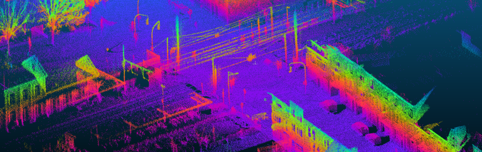
Digitizing Environment
Digitization has the potential to enhance work processes, making projects more cost-effective and businesses more productive. The ability to see and measure every detail of an environment is crucial for understanding geological landscapes, as-built structures, or individual assets. XenomatiX mobile mapping technology streamlines this process by reducing time, increasing safety, and providing 360-degree visibility for surveyors, contractors, and asset managers.
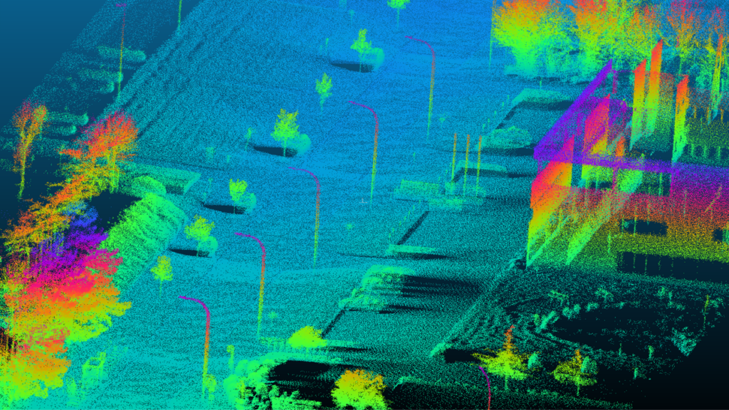
Asset Inventory
XenomatiX’ technology can deliver a complete database of 3D imagery and pointcloud inventory of road furniture quickly and easily without disrupting operations. With XenomatiX precise GPS and high-resolution 3D mapping capabilities, you can accurately inventory road cables, light poles, and other assets.
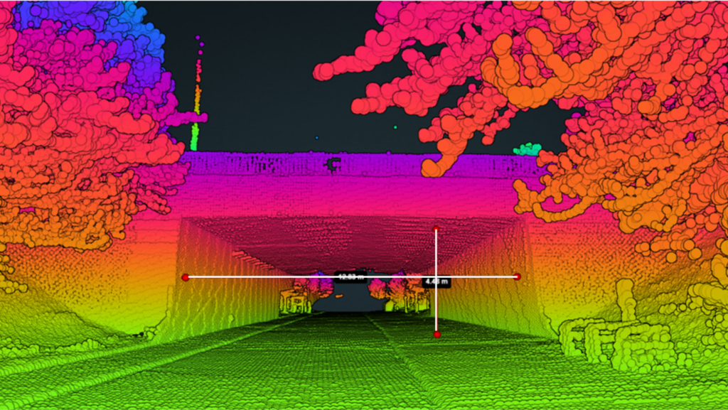
Transportation Planning
XenomatiX technology provides cm-accurate data that can be used to assess the clearance for large vehicles passing through areas such as bridges, overpasses, or narrow roads. By capturing precise data, it enables you to determine whether your vehicles can fit under bridges or if oversized load vehicles can safely navigate specific routes.
Get in touch Learn more
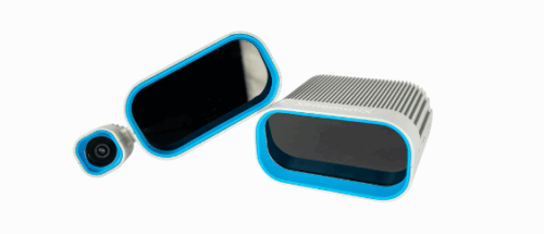
Products that may interest you Related Products
Why XenomatiX?
-
Quick set up
-
High accuracy
-
3D pointcloud & 2d images
-
Reliable
-
Multi-beam
-
No moving parts
-
Flexible
-
Scalable & affordable