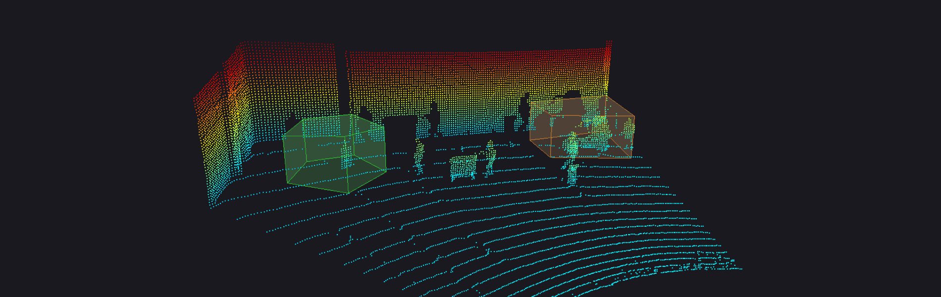
Smart Sensing
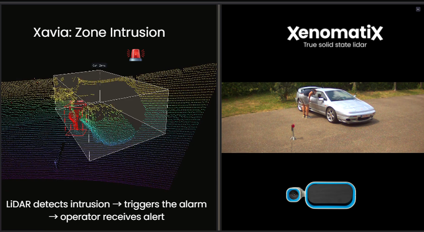
Zone Intrusion
Detect when a restricted zone is being accessed — by a person, vehicle, or object. Entering a defined zone can automatically trigger an alert, action or the next step in a process.
Xavia detects when a defined “no zone” is breached and triggers an immediate, intelligent response — from sending a warning to activating a machine or starting an interactive experience.
Detection of people, vehicles or objects entering a ‘marked zone’, triggering an alert, action or process. In all ambient light conditions, Xavia can monitor a wide area and detect (un)desired maneuvers. On board analysis of the measurement data translates into sending a warning, activating a machine or returning dimensional data.
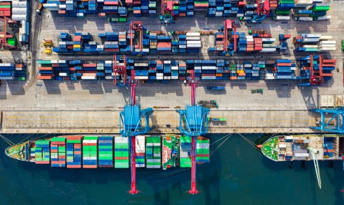
Traffic Management in Quays
Monitoring and controlling the maneuvering of vehicles, equipment, vessels and ships around a port or dock area. Placing several Xavia units along the quay enables 3D measurement of a ship’s hull and surrounding reference points, providing accurate monitoring of relative position, movement, and distance during and after docking.
Xavia can measure points on multiple objects at exactly the same time in order to measure relative distance and position very accurately. 3D measurement points spread over a good part of the ship’s hull allow to monitor the ship movement in 6 dimensions.
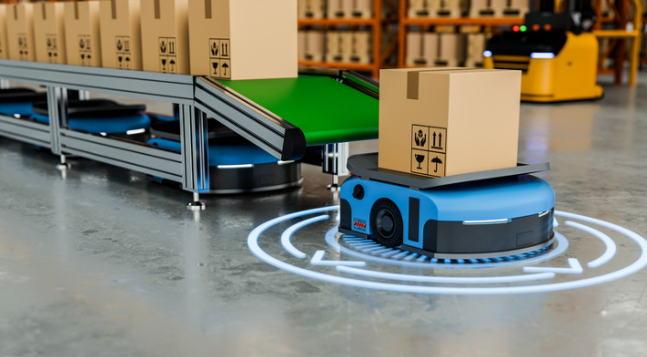
Collision Avoidance
Autonomous machines in factories need to navigate safely while detecting and locating obstacles. Xavia provides detailed 3D information, even in environments with limited lighting, enabling reliable obstacle detection and collision avoidance.
Traditional point or line lasers do not provide sufficient coverage or enough data for reliable scene interpretation. Xavia captures more measurement points over a larger area, while single-frame point clouds provide enough data to detect and locate obstacles. Due to low-light conditions, camera-based approaches can be less reliable for obstacle detection.

Structural Monitoring
Xavia can be used to monitor the movement and deformation of large structures such as bridges. Xavia can continuously capture 3D measurements across a wide area, allowing the detection of displacement and deformation under different operating conditions. This can support applications such as bridge monitoring, infrastructure inspection, and structural health assessment.
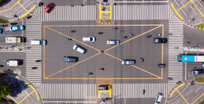
Traffic Optimization
Xavia can be used to monitor and manage traffic flows while improving safety at intersections. Xavia provides accurate 3D detection and measurement of vehicles in real time, across different traffic and environmental conditions. This information can support tolling, vehicle classification, traffic light control, congestion management, road user warnings and optimization of traffic flow.
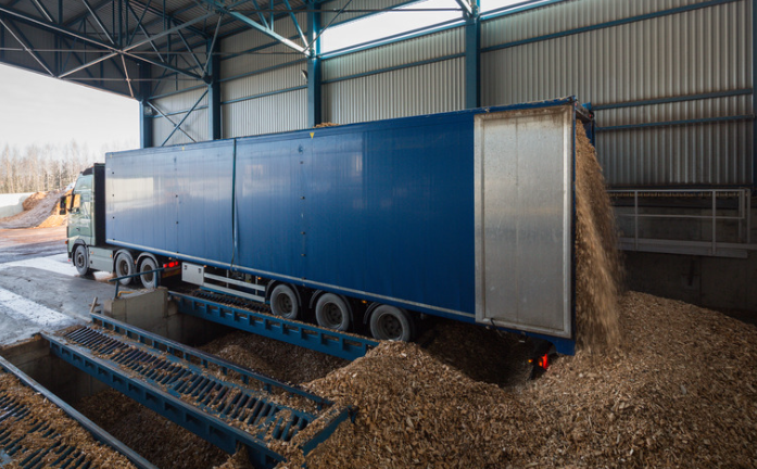
Volumetric Measurements
Xavia uses 3D sensing to accurately measure the volume of bulk material in containers and warehouses. By capturing the exact shape of stock piles and calculating their volume, Xavia provides a precise and automated measurement of the amount of material — reducing the need for manual estimation and enabling more accurate quantification of the material being shipped or sold.
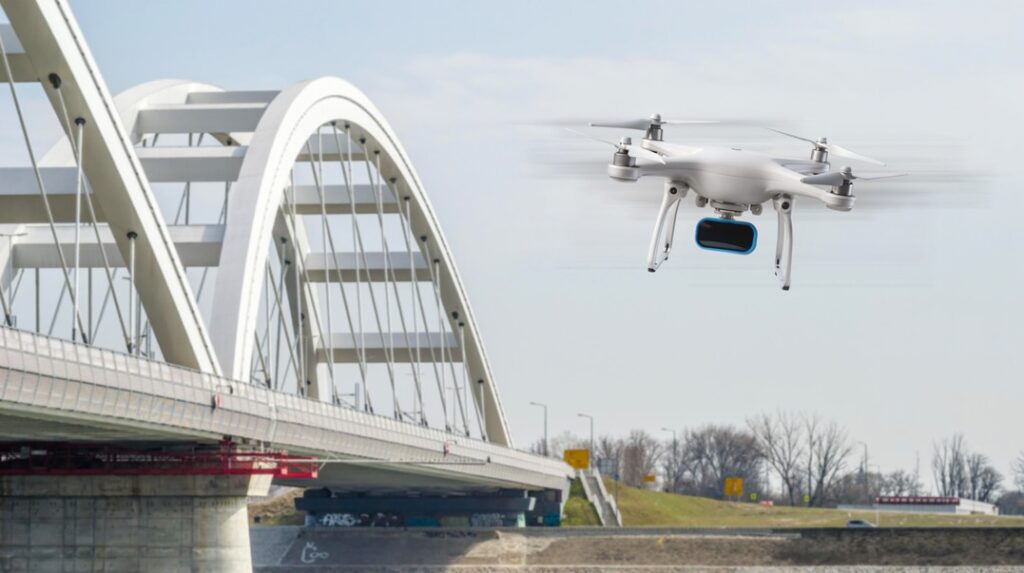
Unmanned Aerial Vehicle
A lidar on a UAV enables real-time mapping, obstacle detection, and terrain navigation. Applications include surveying and mapping, monitoring infrastructure such as bridges or power lines, agricultural field analysis, and supporting search-and-rescue operations by providing accurate spatial data.
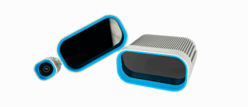
True Solid State Lidar Learn more
Products that may interest you Related Products
Why XenomatiX?
-
Quick set up
-
High accuracy
-
3D pointcloud & 2d images
-
Reliable
-
Multi-beam
-
No moving parts
-
Flexible
-
Scalable & affordable