Road Digitization within ArcGIS
Objective:
Modernize and accelerate the City of Leuven’s road digitization process by replacing manual inspections with an automated, data-driven approach.
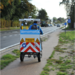
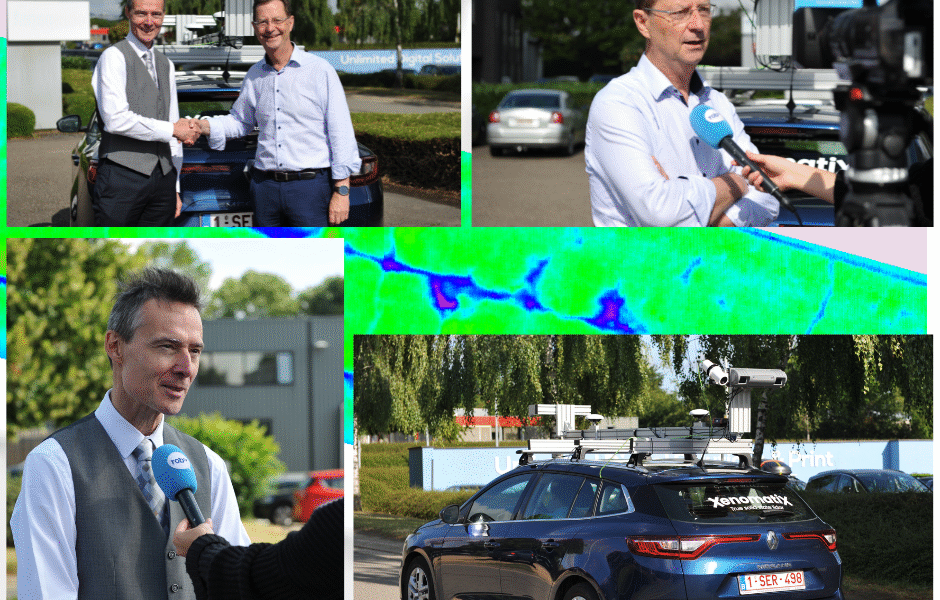
As part of a tender, XenomatiX was selected to handle data acquisition, processing, and reporting within the City of Leuven’s ArcGIS platform.

Methodology
- Fully integrated road quality data into the city’s ArcGIS-based asset management system.
- Measured road condition, including pothole depths and side damages, to optimize repair strategies.
- Conducted pre- and post-repair measurements to evaluate interventions.
Results
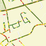
- Detailed road network condition overview, enabling root-cause analysis.
- Prioritized repairs based on IRI evaluation.
- Immediate action on cracks in streets with acceptable IRI.
- Supported planning for pothole repairs and asphalt layer replacements.
- Provided data for efficient repair methods and long-term budget planning.
- Served as a pilot for bike lane monitoring.