Industrial
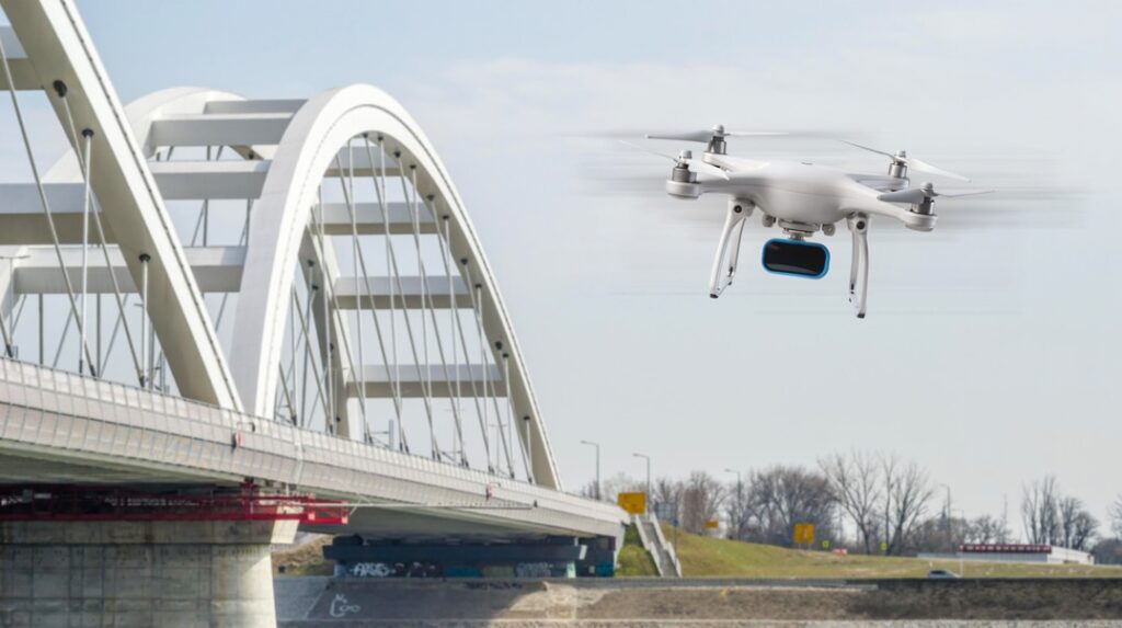
Drone and UAV
A lidar on a UAV enables real-time mapping, obstacle detection, and terrain navigation. Applications include surveying and mapping, monitoring infrastructure such as bridges or power lines, agricultural field analysis, and supporting search-and-rescue operations by providing accurate spatial data.
Paving Data
XenomatiX’ innovative solution has found widespread adoption in industrial roads including mining and agriculture. These roads encounter diverse and challenging landscapes, including heavy activities and varying terrains, like unpaved roads. XenomatiX provides real-time data on paving profiles for quality control during and after road production.

Harbor maneuvering
Do you need a system that facilitates safer and more efficient harbor operations maintaining strict safety standards? The advanced sensing and perception capabilities of XenomatiX’ true solid state lidars can collect a continuous stream of information from a vessel’s environmental surroundings, identifying and tracking potential conflicts.
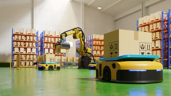
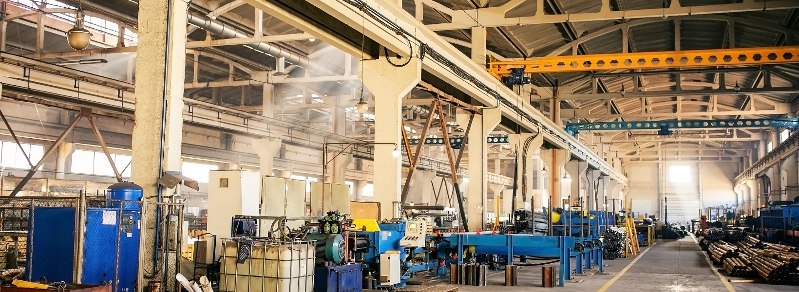
Automated manufacturing logistics
Do you require safe navigation for your mobile machinery or industrial equipment? Our sensors are compact and robust and designed to build highly accurate 6D models of any environment to enable safe navigation of mobile robots, AVGs or drones even in a complex and busy warehouse environment.
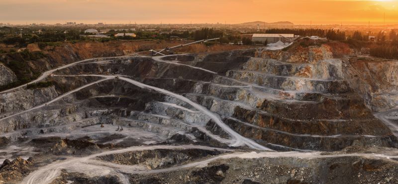
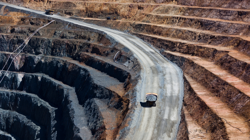
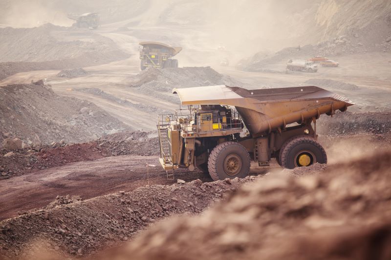
Terrain profiling
Do you need precise terrain profiles to optimize automated mining or agriculture operations in real-time or for post-analysis? XenomatiX lidar measures high resolution, high accuracy profile maps of any terrain, longitudinally stitched together, complemented with intensity and 2D imaging.
Off-road navigation
Assess rough ground to avoid vehicle damage and improve driving safety. XenomatiX lidar provides resolution and accuracy as inputs for your off-road navigation assistance. Thanks to its full solid state, it is ideally suited to operate in harsh driving conditions.
Get in touch Learn more
Products that may interest you Related Products
Why XenomatiX?
-
Quick set up
-
High accuracy
-
3D pointcloud & 2d images
-
Reliable
-
Multi-beam
-
No moving parts
-
Flexible
-
Scalable & affordable