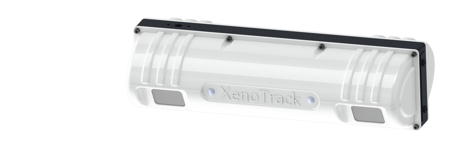
XenoTrack
Precision Road Profile LiDAR for Enhanced Safety
XenoTrack Single Lane – The detailed and surface measurements accurate to within a millimeter make it ideal for applications such as cracks and pothole detection, surface monitoring during road construction works, seasonal surface degradation analysis, road waviness, etc.
- Lateral FOV: 4m
- Longitudinal FOV: 1,9 – 4,1m behind vehicle
- Smallest resolution x-y: 5-5 mm
- Accuracy: < 0,45 mm
- Frame rate: 40Hz
- Measurement points: over 1 million/sec
XenoTrack Dual Lane – a solution designed to survey two neighboring lanes in a single pass. The Dual Lane lidar system allows a surveyor or road inspector to save time, resources, and budget by measuring two lanes in one go, with no traffic disruption.
- Lateral FOV: 7,5 m
- Longitudinal FOV: 2,9 – 7,5m behind vehicle
- Smallest resolution x-y: 10-10 mm
- Accuracy: < 0,65 mm
- Frame rate: 40Hz
- Measurement points: over 1 million/sec
XenoTrack FrontView – The mm-accurate, high resolution profile data makes the sensor ideally suited for RT application relying on preview measurements such as active suspension for ultimate driving comfort, lane keeping, small but dangerous road obstacle avoidance … .
- Lateral FOV: 6,5 m
- Longitudinal FOV: 2,8 – 8,2 m behind vehicle
- Smallest resolution x-y: 10-16 mm
- Accuracy: < 3,5mm
- Frame rate: 20Hz
- Measurement points: 560 000
XenoWare is the software interface to access and control the XenoTrack lidar for collecting and processing your pavement data. Within XenoWare the Digital Road Plus algorithm first stitches each individual point cloud to one fully georeferenced and digitized road with unprecedented accuracy and precision.
- Automatically identify, calculate and geotag quality measures:
- IRI, PCI, rutting
- Deliver the output in standard formats such as LAS or CRG
- Modules and capabilities added regularly
XenoTrack roof mounting kit consists of a rigid, single-bar mounting system designed to securely mount the lidar sensor, the XenoAsterx antennas and an optional GNSS unit. Its high-stiffness construction minimizes vibrations between the XenoTrack system and the vehicle body, ensuring precise data collection.
- No vibrations, ensuring precise data collection.
- All components can be removed from the vehicle’s roof as a single unit for easy transfer between vehicles.
- Maintains calibrated relative position between XenoTrack, GNSS, and antennas when removed.
- Easy switch to move the entire system from one vehicle to another.
XenoTrack (XT) provides a range of pavement inspection and analysis solutions tailored to different customer needs and budgets.
-
XT PCI – Offers full Pavement Condition Index (PCI) quantification for comprehensive pavement assessment.
-
XT RoadInspector – Provides geometric characteristics such as IRI (International Roughness Index), rutting, and cross slope.
-
XT VisualDefects – Detects and records surface issues like cracks, patches, and potholes.
-
XT 3DRoad – Creates lane-wide 3D road models including height and intensity maps using lidar technology only.
-
XT Profiler – Delivers detailed longitudinal road profiles
Using lidar and camera combinations, XenoTrack deliver automated, complete 2D and 3D road assessments, enhancing precision and efficiency in pavement inspection and profiling.