Make the World your Virtual Proving Ground
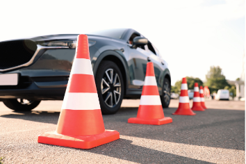
Car manufacturers spend tons of money on test drives on physical proving grounds. Some well-established companies even exploit their own proving ground in a remote, multi-square-kilometer large area. Yet, these test roads are only a small subset of the worldwide variety of roads.
Often new EV companies don’t have these facilities (close by). At the same time, the increasing weight of electrical vehicles and the completely different distribution of weight urges for new development and tuning of suspension systems. Understanding how road geometry impacts driving comfort and safety remains critical. Also, the silence of an electrical engine can only be appreciated after good noise and vibration design and testing.
A cost-effective and efficient solution is the use of very precise measurements of worldwide roads for simulation and bench testing. This is often referred to as ‘Virtual Proving Grounds’ (VPG). Yet, this VPG does not have to be restricted to a digital copy of a specific physical proving ground.
Most physical proving grounds do have a few tens or hundreds of meters of cobblestone track. This is not representative enough. Cobblestone roads in Brussels are different from the heavy Paris-Roubaix cobblestones, the old, charming parts of cities like Philadelphia or Pittsburg and the round marble stones in Italy.
Any public road can be easily digitized lane-wide with millimeter resolution and precision using new types of LiDAR systems such as XenoTrack. In this way, thousands of kilometers of different types of roads in different countries can be made available to car manufacturers to extend testing through simulation and on test benches. Broader data sets lead to faster development and fewer surprises during physical testing.
What is important for such VPG data?
- Cars do not always drive on exactly the same track. A professional test driver may keep its car on the optimal driving line. A distracted commuter may seek the road edges more often. Lane-wide digitization of roads allows the user to pick any track. This allows for example to efficiently test the car stability when driving on a road with significant rutting along different tracks in the ruts
- Lane-wide measurement data also allows to make simulations for different tire widths. A smaller or wider section can be cut from the road data to calculate the road profile and the forces on the tire.
- Preferably, the data is available in CRG format. This widely spread format for automotive testing makes the data easy to use in a variety of test and simulation systems.
- Same quality of data on any road material, both for streets and off-road tracks: concrete, asphalt, sand, gravel, brick, …. Also road markings, manhole covers, expansion joins, .. . should be correctly measured.
- Data density: a resolution of around 5mm over the entire road in longitudinal and transversal directions is a good balance between the amount of data to be handled and enough information on road features that impact the vehicle.
The XenoTrack system fulfills these requirements. Moreover, the system can be mounted on any vehicle. So, if the same type of road data has to be collected later on during real driving with the developed vehicle, the XenoTrack road LiDAR can be installed and even synchronized with other equipment. In this way, virtual testing can be linked to physical testing, closing the loop between reality and simulation.
